
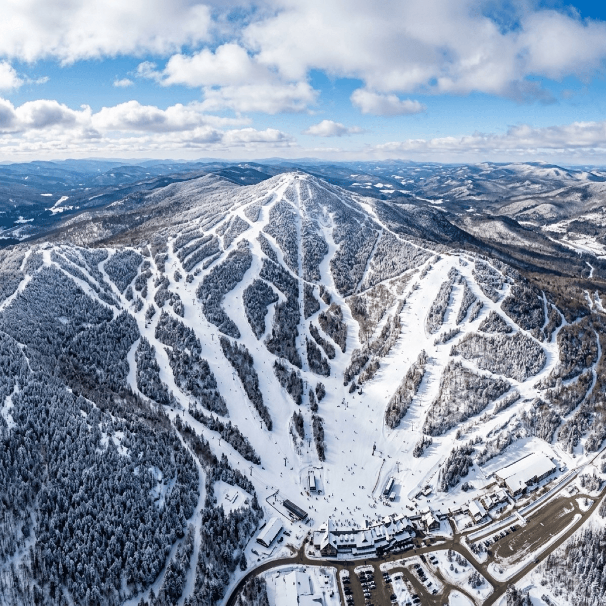
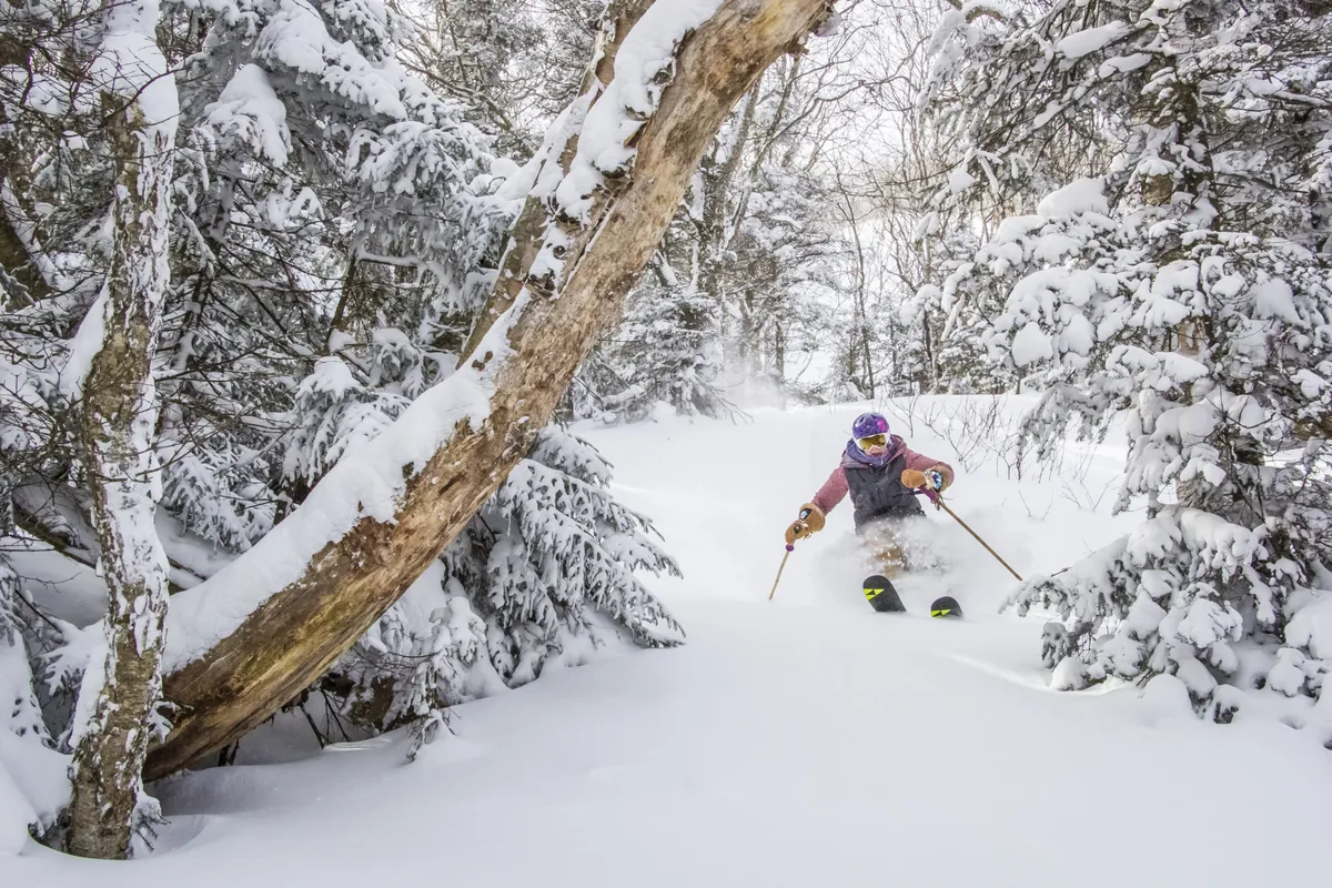
Vermont doesn’t have avalanche terrain in the same way the Rockies or Sierras do — but it does have legitimate backcountry skiing, and more of it is being formalized every year. Within an hour of Killington, there are several zones worth knowing about if you want to skin for your turns instead of riding a lift.
Brandon Gap Backcountry Recreation Area — The Top Pick
| Detail | Info |
|---|---|
| Drive | ~45–50 min |
| Managed by | Ridgeline Outdoor Collective + USFS |
| Vertical | 16,000+ ft combined |
| Zones | 4 connected glades |
Brandon Gap is the real anchor of Vermont’s grassroots backcountry movement, and it’s the closest genuinely great zone to Killington. It’s managed by the Ridgeline Outdoor Collective (formerly RASTA) in an official partnership with the U.S. Forest Service — reportedly the first sanctioned backcountry glade network on National Forest land in the country, which is a real distinction, not marketing language.
The terrain spans four connected zones — Romance, Goshen, Chittenden Brook, and Hogback — offering over 16,000 vertical feet combined. It’s real backcountry: no grooming, no patrol, no lifts. You’re skinning or hiking for everything.
Braintree Mountain Forest
| Detail | Info |
|---|---|
| Drive | ~50–70 min (estimate) |
| Managed by | Ridgeline Outdoor Collective / New England Forestry Foundation |
| Vertical | 750–1,000 ft |
| Terrain | 1,547-acre conserved forest, 4 peaks |
Braintree Mountain Forest is a newer addition to Vermont’s backcountry network, also managed by Ridgeline Outdoor Collective in partnership with the New England Forestry Foundation. The 1,547-acre conserved forest spans four peaks with terrain that’s more mellow than Brandon Gap but still offers quality glades and skin tracks.
Mount Ascutney — Backcountry on a Former Resort
| Detail | Info |
|---|---|
| Drive | ~54 min |
| Status | Unpatrolled, unmanaged |
| Peak | 3,130 ft |
| Character | Open glades, former lift terrain |
Mount Ascutney is a different animal — a former alpine ski area that closed in 2010 and has been partially reclaimed as backcountry terrain. The old trails are still skiable, and local volunteers have cut some additional glades over the years.
The catch, and it’s a real one: Ascutney Outdoors is explicit that it does not manage, patrol, maintain, or monitor conditions on this terrain. It’s skied entirely at your own risk, and there’s old ski-area infrastructure — lift towers, cables, foundations — hidden under the snow in places. Access is via a skin track from the Ascutney Outdoors Center or the West Windsor Town Forest trailhead; uphill traffic has to stay on the marked skin route.
The Catamount Trail — Killington’s Own Backyard Sections
The Catamount Trail is Vermont’s 300-mile, statewide ski-touring route, split into 31 sections — and three of them run essentially through Killington’s backyard, which makes this the most overlooked answer on this list.
Section 12 (Tin Shanty to Route 4, 13.3 miles) runs directly across Shrewsbury, Little Killington, and Mendon Peaks before dropping into Rutland City Forest — genuinely adjacent to the resort. It’s advanced-only: long, isolated, steep in places, often ungroomed and unbroken. The Catamount Trail Association recommends splitting it into north and south halves and traveling in a group of three or more, not solo.
Section 13 continues north toward Chittenden Reservoir and into the Breadloaf Wilderness.
What’s Left Off This List, On Purpose
There are other zones — some formal, some not — that experienced Vermont backcountry skiers know about but that don’t belong in a public guide. If you’re new to Vermont backcountry, start with the zones above. They’re documented, they have managing organizations behind them, and they’re the right introduction to earning your turns in the Green Mountains.
Stay Safe — Vermont Backcountry Has Real Risks
Safety Rule #1 — Tell Someone Your Plan Always tell someone where you are skiing, where you plan on parking, and when you plan on getting home. This code of conduct will ensure that if you do get lost someone can quickly call rescue services and help to locate you.
Safety Rule #2 — Travel With a Partner Traveling alone means little to no help if you get hurt or lost. Two are always better than one.
Safety Rule #3 — Bring Water and Snacks Should you get lost you will have a chance to survive overnight. Something that will give you high energy and can easily fit in your pocket.
Safety Rule #4 — Bring a Cell Phone Should you get lost you can drop a location pin. Even an expensive mountain rescue is better than being stranded in a life or death situation.
Keep in Mind
Hypothermia — cited as the leading cause of backcountry death in Vermont — dress in real layers, and know that a lift-served day’s gear plan isn’t automatically enough for hours of self-powered touring.
Buried hazards — specifically at Ascutney — old lift towers, cables, and foundations sit hidden under the snow in places on the former resort terrain.
Deep, unconsolidated snow — chest-deep conditions are common in ungroomed glades January through March — exhausting and disorienting if you’re not prepared for it.
Tree wells — a real hazard in any gladed, forested terrain, especially skiing solo.
Getting lost — trail markers get buried, and cell and GPS coverage is unreliable in these valleys — an offline mapping app (CalTopo, Gaia, or Avenza) matters more here than it would resort-side.
None of these zones are patrolled, and none of the managing organizations behind them — Ridgeline Outdoor Collective, Ascutney Outdoors, the Catamount Trail Association — monitor conditions or provide rescue services. Go in a group of three or more on the more remote lines, tell someone your actual plan and turnaround time, and treat avalanche.org’s general education resources as a starting point even though they’re not Vermont-specific forecasting.
This is genuinely different terrain than anything lift-served at Killington — quieter, unpatrolled, and worth real preparation before the first trip. Start with Brandon Gap if this is new territory; it’s the closest, the best-documented, and the one with an actual managing organization behind it if something needs reporting.
Access points, managing organizations, and trail requirements reflect current information as of August 2026 — conditions, land access, and organizational names shift, so confirm directly with Ridgeline Outdoor Collective, Ascutney Outdoors, or the Catamount Trail Association before a trip.